SiteQ: Turning NSW planning data into actionable property intelligence.
A real-world SaaS platform that combines geospatial data, government integrations, property analysis and automated reporting.
Property research shouldn't require navigating a dozen disconnected sources.
Planning information is often distributed across multiple government mapping and data services. SiteQ brings selected NSW datasets together into a single preliminary property snapshot, making early research faster and easier to understand.
The product is designed for property owners, builders, investors and other users who want an initial view of site characteristics before engaging qualified professionals.
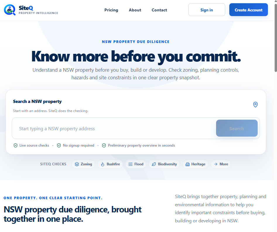
From property search to a detailed snapshot.
Selected screens from SiteQ, showing actual product interfaces. Results and data availability depend on the property and source services.
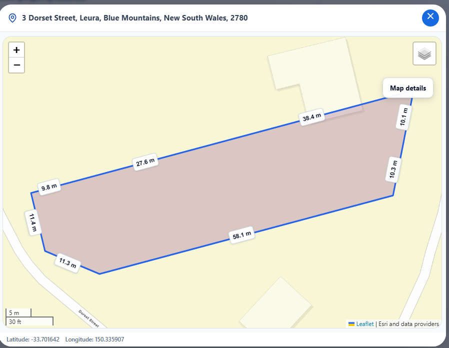
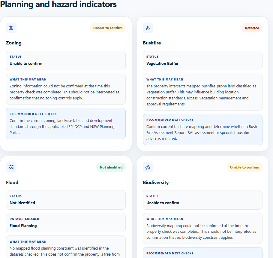
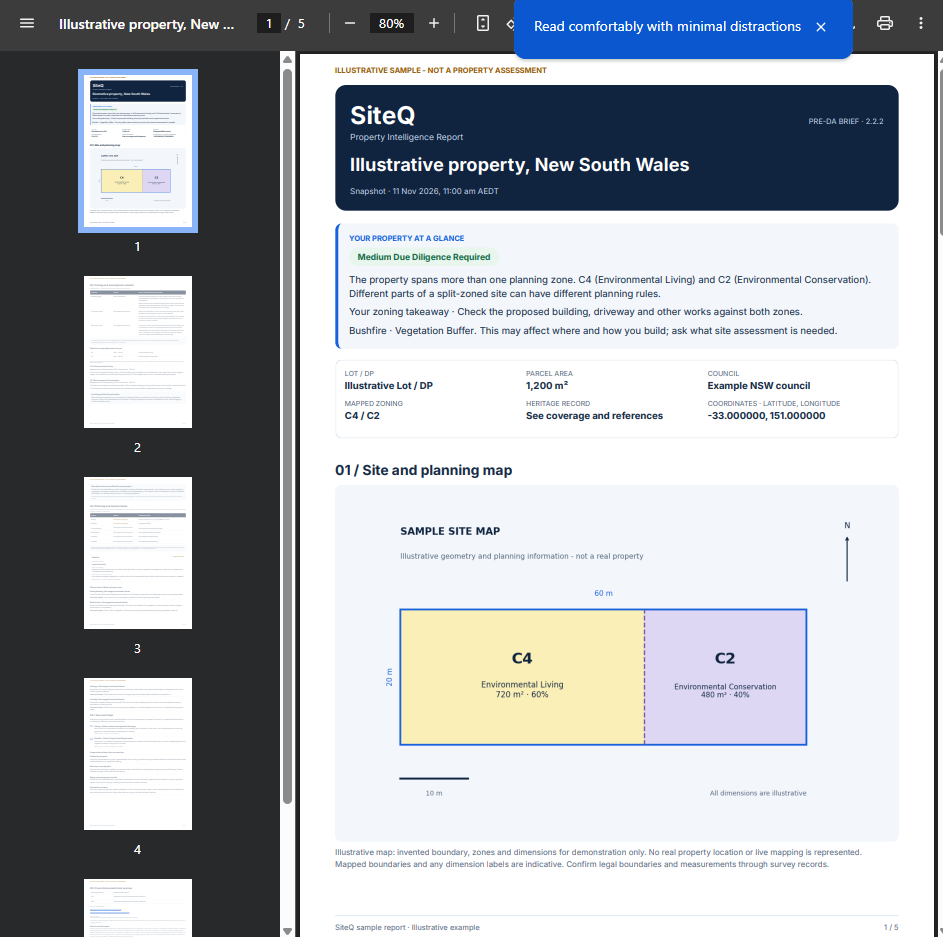
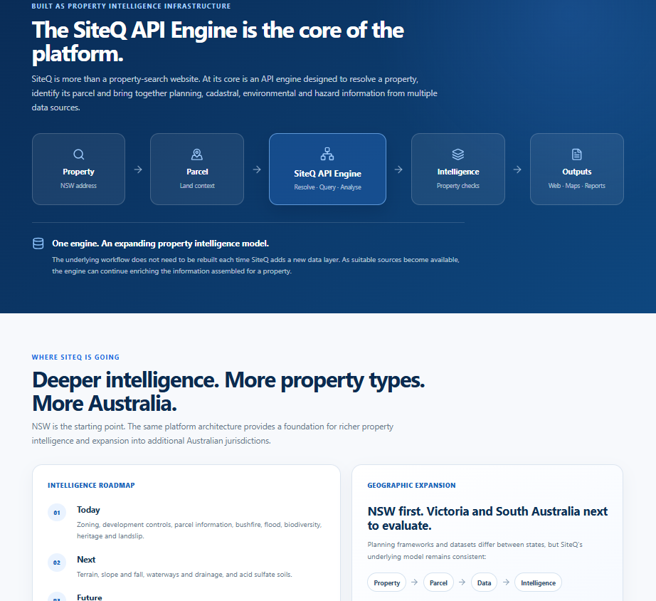
One platform. Multiple planning-data sources.
SiteQ integrates location search, parcel geometry, spatial analysis and report generation into a self-service workflow.
Address & parcel intelligence
Locate NSW properties and resolve cadastral parcel information for a spatially grounded search.
Planning overlays
Present available zoning, bushfire, biodiversity, heritage and other supported planning layers with source-specific caveats.
Property reports
Generate structured snapshots and premium downloadable PDFs with relevant maps, controls and planning references.
Geospatial calculations
Analyse polygon intersections and calculate approximate area proportions where multiple zoning classifications overlap a parcel.
Self-service SaaS
Account access, search history, report entitlements, subscriptions and secure payment workflows.
Cloud delivery
Azure-hosted API and database infrastructure with monitored deployments and production configuration.
Built on a modern, maintainable stack.
The platform combines a React and TypeScript frontend with .NET APIs, SQL Server, geospatial libraries and cloud infrastructure. External planning-data services are normalised into a consistent property-oriented experience.
The implementation demonstrates spatial data integration, API orchestration, report generation, billing workflows and practical cloud operations.
Explore API integration services ↗Technology stack
Selected implementation details are summarised at a high level to protect platform security and proprietary engineering.
From technical complexity to a usable product.
SiteQ demonstrates the ability to take an idea through architecture, integration, user experience, billing, cloud deployment and public product launch. It is an active product, not a concept design.
Important: SiteQ provides preliminary planning information only. Data coverage and availability vary, and its output is not a substitute for a planning certificate, professional site assessment or development approval.
Have a project in mind?
Tell us what you're trying to achieve. We'll help explore the practical options.